
3D modeling & topography by drone
Context
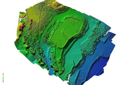
Topography is the science that allows the measurement and then the representation of the visible forms on the ground, whether they are natural (relief) or artificial (buildings, roads, …). Its objective is to determine the position and altitude of any point located in a given area.
By 3D modeling, the objective is to reconstruct as closely as possible a real environment with, the land, the district, the buildings, objects, etc. This then makes it possible to work on a computer model, reducing working time in the field. It is for example possible to measure distance, area, volumes and angles directly in the 3D model.

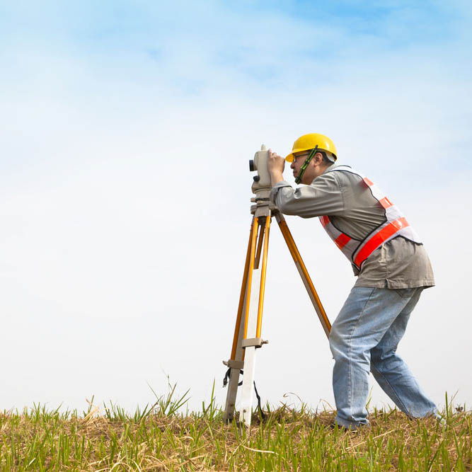
Different techniques and tools exist to achieve this end: tacheometer (theodolite), laser scanning, and photogrammetry. All these techniques have their advantages and disadvantages, but are complementary depending on the situations and needs.

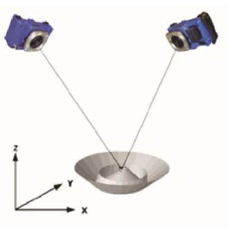
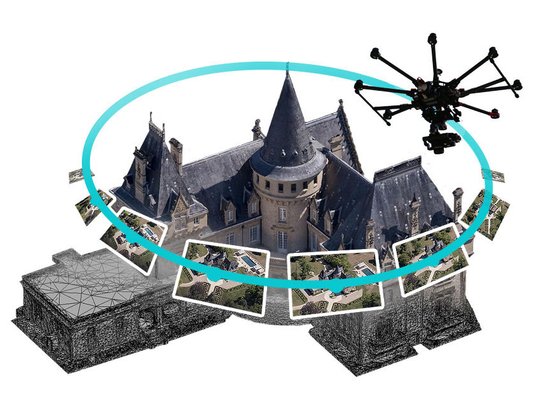
Photogrammetry is a technique which consists in making measurements in a scene, by copying the principle of human stereoscopic vision. It therefore makes it possible to reconstruct the relief of a scene from the differences in points of view. This technique is therefore based on images as a source of information, which a priori does not require any specific equipment apart from a camera.

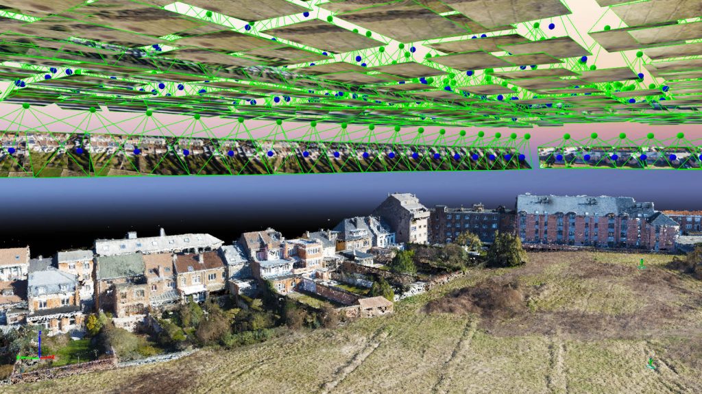
The advantage of a drone for photogrammetry is that it allows you to take many photos from various points of view, and this very quickly. The photogrammetric processing is fully automated and is carried out in IT post-production. This makes it possible to obtain the first topographies and 3D models only a few hours after the shots have been taken.
Approach

We offer services for surveyors, architects, and other construction professionals with an interest in the use of 3D models in their work. According to your needs (level of precision, resolution, type of expected result, …), we evaluate the best approach to adopt for flight planning, taking pictures, and photogrammetric processing.

The success of a successful 3D modeling lies in understanding the needs, as well as in the good planning of the mission. This is why it is important to agree on the objectives of the project and the collaboration in terms of information exchange (e.g. field data, marking, previous surveys).

In order to produce quality results, we use professional drone equipment optimized for topography, equipped with a 20 MP camera, and an autonomy of 20 minutes.
The photogrammetric processing is carried out using Agisoft Metashape software and allows the generation of the following deliverables:
- 3D point cloud
- 3D mesh
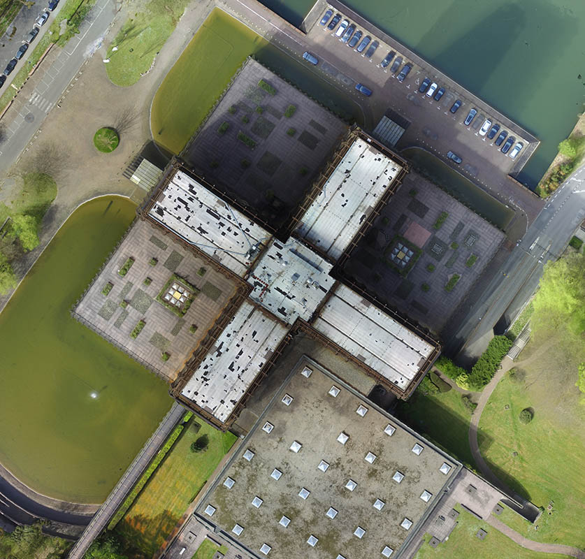
- 2D orthophotography (orthomosaic)
- Digital surface model (DSM)
- Contour lines
Do not hesitate to also consult our achievements to get an idea of our work!