
Our achievements
Here are some examples of our achievements of drone pictures, videos, and 3D modeling.
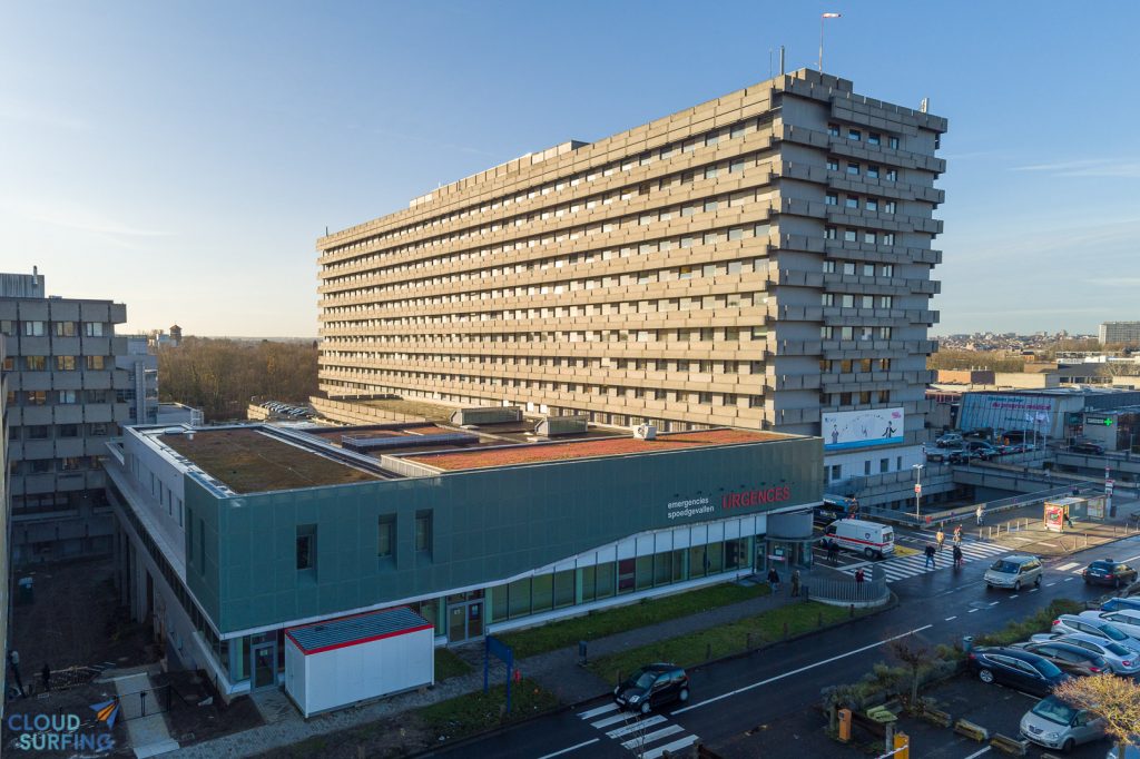
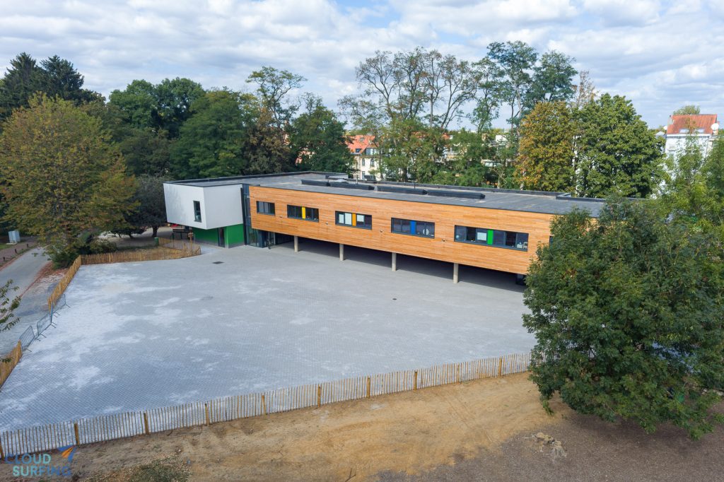
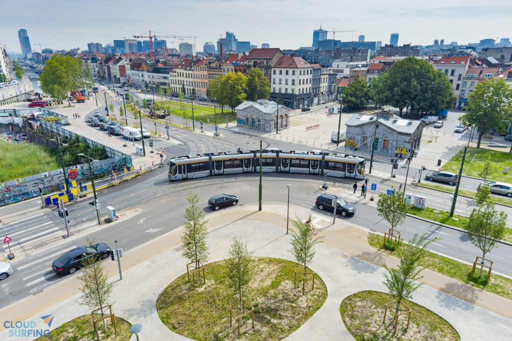
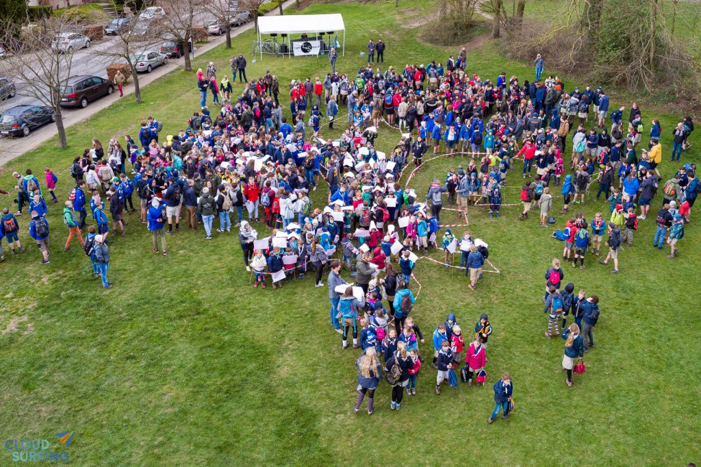
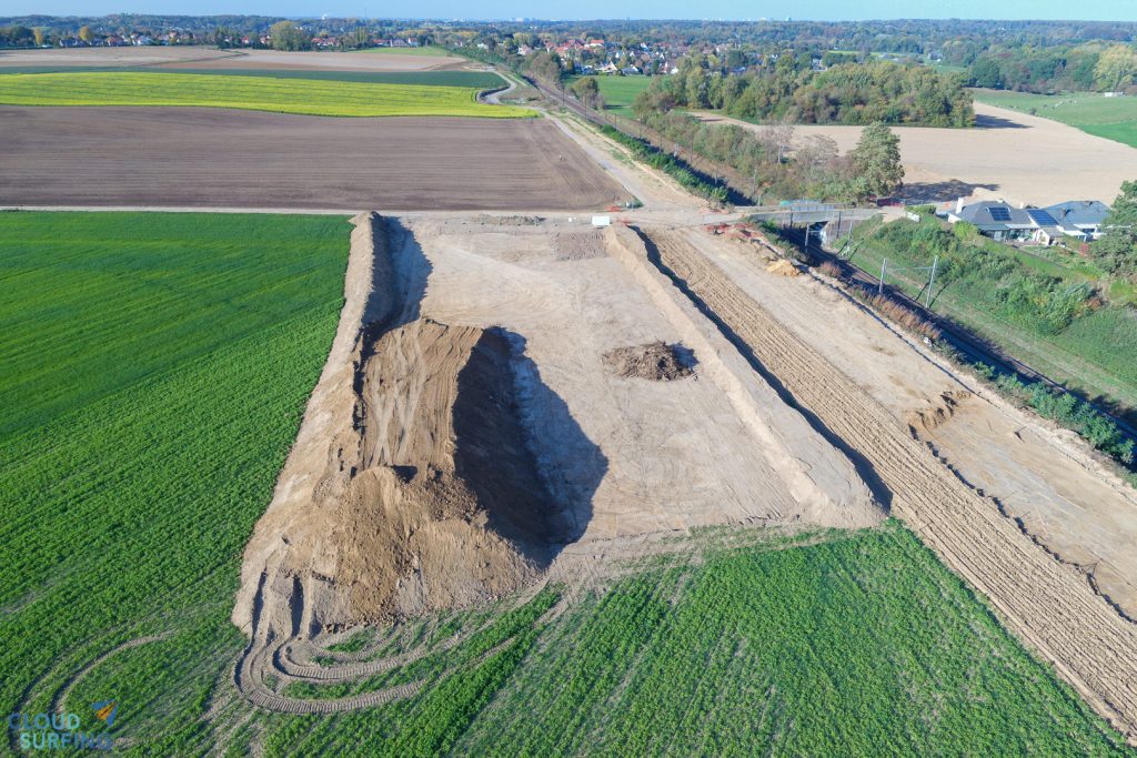
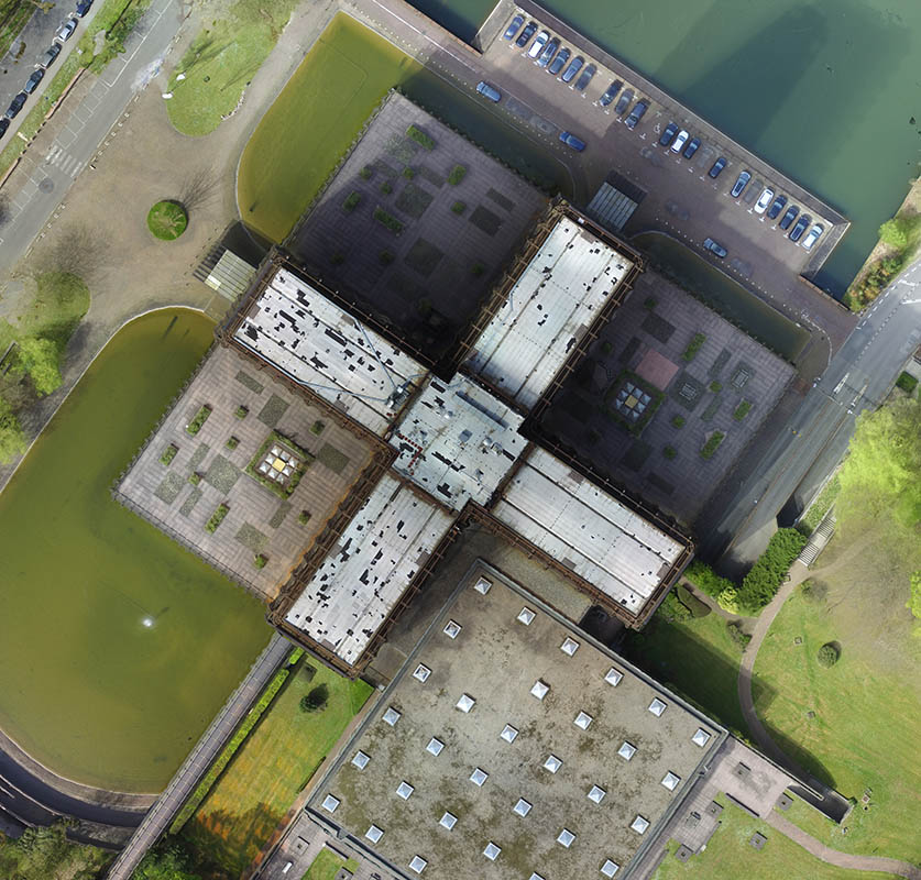
Aerial shots


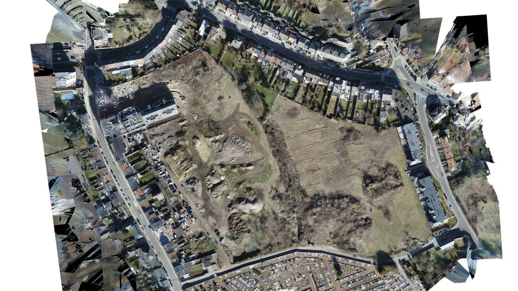
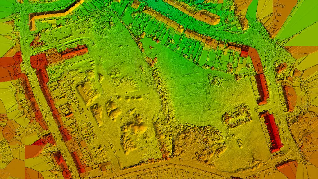
3D modeling & topography
A land survey by drone allows, by photogrammetry, to quickly create orthomosaics (2D maps) and very precise terrain elevation models.

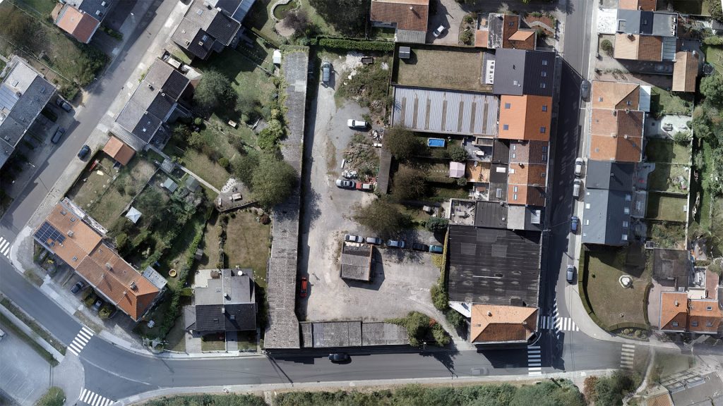

3D model of a building plot, used to be integrated with the work of the architect and the surveyor to provide a complete model.
Conviced ?
Consult our service offering.
Please also check our Youtube Page for more videos !

